Focus Areas
We build technical capacity to lead, manage, monitor, and evaluate environmental programs from global to local scales.
National Forest Monitoring Systems (NFMS) and REDD+
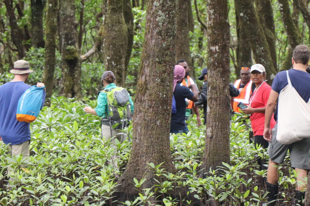
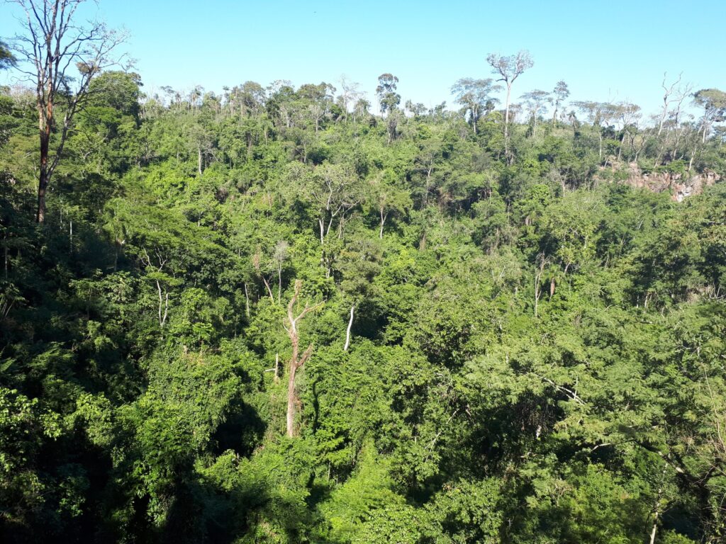
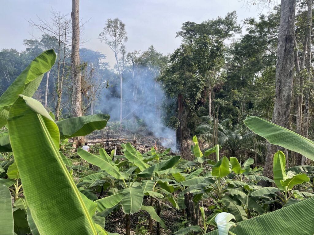
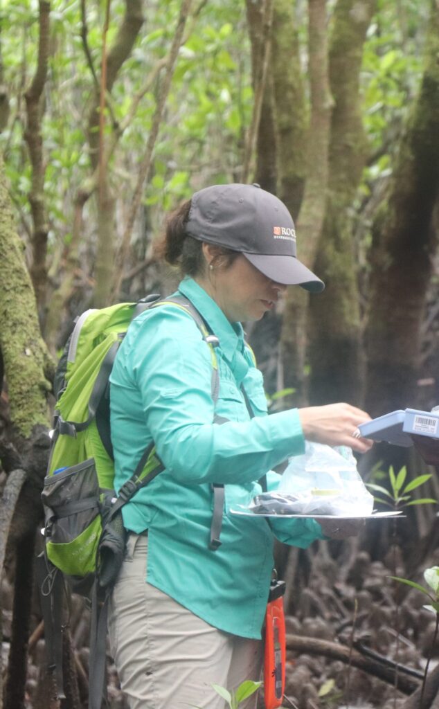
We support countries in the design, strengthening, and long-term sustainability of National Forest Monitoring Systems that integrate remote sensing and ground-based data. This includes capacity development on the generation of activity data, and emission factors aligned with REDD+ requirements under the UNFCCC. Technical areas include near-real-time deforestation alert systems, forest degradation monitoring, mangrove mapping and carbon assessment, and fire detection and analysis. By combining tools such as satellite imagery (e.g., optical, radar, LiDAR) with national forest inventory data, we help countries generate transparent, consistent, and policy-relevant information for climate reporting and decision-making, and methodologies and General Framework for High-Quality Carbon Credits.
Biodiversity Monitoring and Reporting
We advance biodiversity monitoring within the framework of the Convention on Biological Diversity and the Kunming-Montreal Global Biodiversity Framework. The focus is on building national capacity to monitor, report, and use biodiversity data in ways that align with global targets while responding to national priorities. This includes supporting countries in the development of indicators, spatial analyses of ecosystems and species, and integration of biodiversity with forest and land-use monitoring systems. Training programs are tailored to ensure that technical teams can not only produce data but also interpret and apply it to conservation planning and policy.
Greenhouse Gas (GHG) Inventories
We provide technical assistance and training to strengthen national greenhouse gas inventories across sectors, with a particular focus on AFOLU (Agriculture, Forestry, and Other Land Use) in line with IPCC guidelines. This includes building capacity in emission estimation methods, uncertainty analysis, data integration, and reporting under the Enhanced Transparency Framework of the UNFCCC. We work with national institutions to improve data flows between sectors, enhance the use of Earth observation data in emissions estimation, and ensure consistency between national forest monitoring systems and GHG reporting. Training covers both technical methodologies and institutional arrangements.
Monitoring, Evaluation, and Learning (MEL)
We conduct Monitoring, Evaluation, and Learning activities, including mid-term and final evaluations of conservation and broader management. These assessments are grounded in internationally recognized frameworks such as the OECD-DAC criteria and emphasize the linkage between outputs, outcomes, and long-term impacts. We apply mixed-method approaches, combining quantitative data analysis with qualitative stakeholder engagement, to provide actionable insights for program improvement and accountability.

Across All Focus Areas
We integrate the development of training materials, modular courses, and webinars to ensure sustained capacity beyond individual engagements. We actively empower women and seek the participation of Indigenous Peoples and local communities, ensuring that capacity development efforts are equitable, inclusive, and context specific.